Compare Airteam with aircraft data
Our AI automatically processes your drone images into a precise 3D model. No more waiting for outdated aerial images — instead, instantly usable data for error-free planning.

Airteam vs. Satellite & Aircraft data
precision
Delivery time
Survey report
3D model (scan) Mesh/Pointcloud
Online measurement in 3D
3D CAD data
Facade measurement
Integration with planning software
Costs - individual project
- no own drone
- 1 project per month
- no own drone
- 1 project per month
Costs - 5 projects
- with your own drone
- 5 projects per month
- with your own drone
- 5 projects per month
Airteam
Drone
Plane
E.g. BMI Planmaster
very high
medium
99.6-99.9%
95%
Tolerance approx. 2-10cm
at a length of 40 m
at a length of 40 m
Tolerance approx. 200 cm
at a length of 40 m
at a length of 40 m
24-72 hours
48 hours
including MF Dach, Roof Tools, PV Sol, Sunny Design, Autocad, Sketchup, Sunny Design
€€
250€
including drone flight & data evaluation
250€
including drone flight & data evaluation
€
89€ je Aufmaß
89€ je Aufmaß
€
350€
5 x survey report + endless 3D models
350€
5 x survey report + endless 3D models
€€
445€
5 x Survey report
445€
5 x Survey report
Airteam success stories
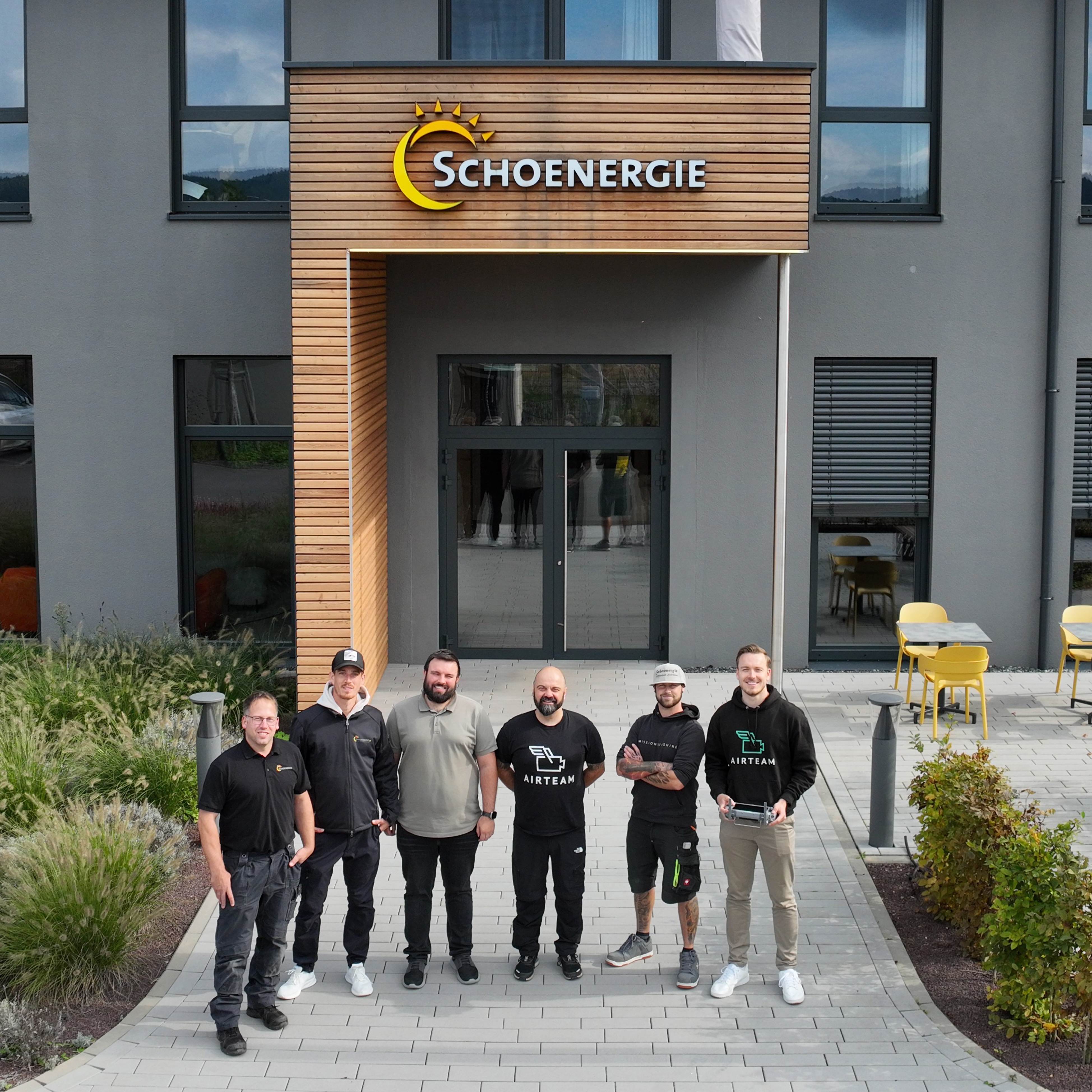
Tobias Hausener
Schoenergie
70%
time savings in the measurement process
100%
complete measurement data
0%
roof access required for measurements
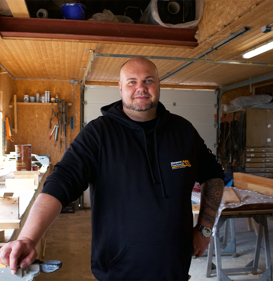

Marcel Rammelsberg
Zimmerei Pawlowski


Michael Witschi
Solit Energie AG
0%
Error Rate
0%
Rework
70%
Faster


Benjamin Harnack
Dachdeckerei Harnack
100%
Genauigkeit
0
Nacharbeiten
100%
Zufriedenheit


Maximilian Herrmann
Gewobag
70-80%
time savings
40%
Cost savings when calculating basic research
100%
customer satisfaction


Dr.-Ing. Silvan Siegrist
Lumoview Building Analytics GmbH
90%
Cost savings compared to other measurement methods
86%
faster building registration
100%
reduced risk of accidents


Patrick Neuburg
Svea Solar
48%
reduced planning time
15%
increased energy yield
25%
saving project costs


Jörg-Dieter Mann
Dachdeckerei Mann GmbH
91%
time saving
23%
more offers won


Sascha Kloß
Pro Electrify AG
38%
higher completion rate
92%
less measurement errors
63%
time savings in planning & offers


Stefan Faschinger
1KOMMA5°
91%
less measurement errors
25%
higher completion rate
24%
saving project costs