Drone and AI for 3D building measurements - fast, accurate, error-free. For |roofers

Forget tap measures, complicated programs and inaccurate satellite images. With Airteam, you automatically get precise 3D measurements through AI, which you can use immediately.

90% faster than
manual measurement

With centimeter precision
(8x more accurate than
satellite data)

0%
planning errors

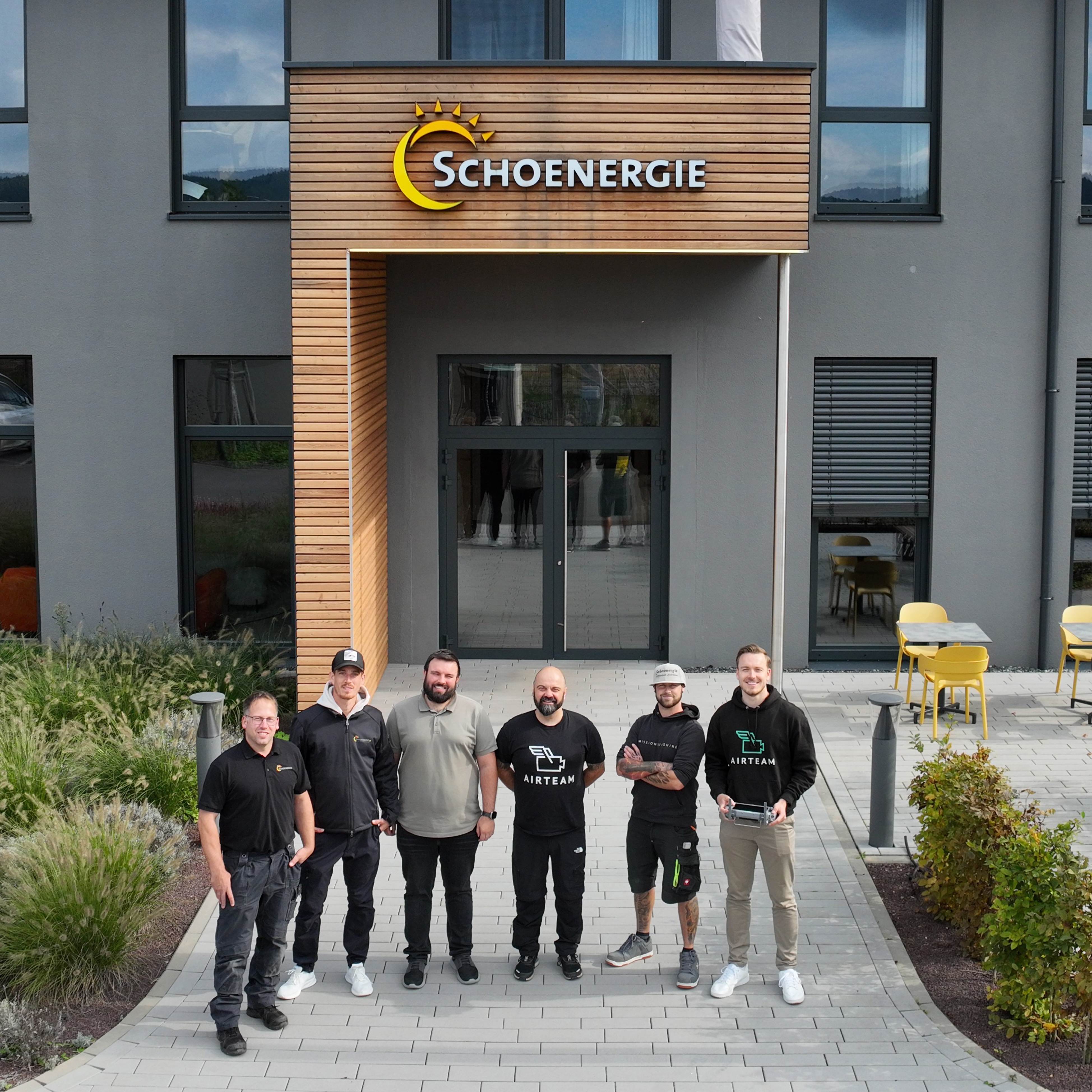
More than 5,000 tradesmen rely on Airteam every day

Problem

Your current building measurement costs time, nerves, and money

You rely on inaccurate Google images or have to climb onto the roof

Satellites show you outdated images. The alternative? Climbing onto the roof with a measurement tape — that takes time, is dangerous and measurement errors take revenge later in the calculation.

Standard CAD software is far too complicated

Expensive CAD programs that no one can use. And even with trained personnel: If the initial dimensions are incorrect, all further planning is incorrect.

With incorrect measurements, you risk making mistakes that cost money

Inaccurate measurements lead to trouble: Either the customer is dissatisfied, or you pay for it. In the end, everything stands or falls with the accuracy of your measurements.

Solution

3D building measurement with Airteam

Forget hours of measuring - a drone flight is enough.

A single drone flight and you'll have all the measurements you need — in 10 minutes instead of hours. Regardless of whether you fly yourself or book one of our pilots. No climbing onto the roof, no measurement errors. Easy, fast and accurate.
Save 90% time with every measurement
Stay safe on the ground
Impress your customers with an innovative appearance

Precise 3D measurements with just a few clicks.

Our cloud software automatically turns your drone images into a finished 3D model — usable on a PC, tablet or mobile phone. No expensive hardware, no complicated CAD training required. You can start planning right away.
Your effort: 10 minutes. After no later than 24 hours, you will have your certified 3D measurement
The software automatically recognizes all important components with AI
Perfect for solar: Show your customers directly what the PV system will look like

Reliable dimensions for
your offers.

With our certified dimensions according to DIN standards, you can safely calculate. The data can be exported directly to your industry software. For quick and reliable calculation and planning.
Tested dimensions according to DIN standards for secure offers
Over 15 file formats exportable for your industry software
Can be used directly in PV Sol, Eturnity, SketchUp, AutoCAD and many other tools

Discover Airteam for your industry

Roofers

Accurate roof dimensions in minutes instead of hours. Exact quantity calculation for reliable quotation calculation.

Solar

Accurate PV design in less than 1 minute Increase your graduation rate through optimal module occupancy and impressive 3D visualization.

Carpenters

Detailed 3D dimensions for roof truss and dormers. Perfect planning basis for renovation and new construction.

Scaffolders

Exact façade surfaces and building heights. Optimum scaffolding planning without an on-site appointment.

Housing

High-resolution and precise 3D building data for marketing, building documentation and renovation. Perfect for project development, administration, and planning.

Airteam success stories

„The ability to combine façade data with interior data and create BIM models has revolutionized our work. “
Dr.-Ing. Silvan Siegrist
Lumoview Building Analytics GmbH
90%
Cost savings compared to other measurement methods
86%
faster building registration
100%
reduced risk of accidents
„The main aspect for us to switch to Airteam was definitely saving time for our sales representatives and keeping the post-processing as short and concise as possible. “
Patrick Neuburg
Svea Solar
48%
reduced planning time
15%
increased energy yield
25%
saving project costs
„Until we came across Airteam, no provider was able to meet our requirements in the area of digital measurements by drone in terms of technology and price.“
Jörg-Dieter Mann
Dachdeckerei Mann GmbH
91%
time saving
23%
more offers won
„I saw this with a colleague and it quickly became clear to me: I must have that too.“
Sascha Kloß
Pro Electrify AG
38%
higher completion rate
92%
less measurement errors
63%
time savings in planning & offers
„By working with Airteam, we save one hour per project. In the past, measurement was often inaccurate. Today, this is accurate to the centimeter and fully digital.“
Stefan Faschinger
1KOMMA5°
91%
less measurement errors
25%
higher completion rate
24%
saving project costs

It's that easy

1. Drone flight
Capture the building with a simple and fast drone flight — by yourself or by an Airteam pilot.
2. Upload & AI analysis
Create a project in Airteam, upload the images and our AI automatically creates a precise 3D image.
3. 3D data
Receive quality-tested measurement data in accordance with DIN standards for further planning in a very short time.

FAQs

What is an Airteam credit

With Airteam Credits, you have a credit that offers maximum flexibility when using the Airteam Fusion platform:

  • Enlargement of the measured area. You need one credit at a time to increase the surveyed area. In the Pro Fusion flat rate, this is 1 credit per 500m2, in the Max and Ultra Fusion flat rate 1 credit/5000m2
  • Use of planning data: If we create additional measurement data for you in addition to the Airteam 3D model, such as CAD, PV planning data or a survey report, you need one credit per data set

For more information, read this blog update.

What does the system cost?

The flat rates are available in an annual package starting at just 125€ per month. The starter kits (drone, accessories, training, software and support) start at 1,950€. You can find all details about our prices here.

How complicated is it to use?

The software is deliberately kept simple. You don't need any CAD knowledge and you can get started right away. With just three clicks, you can create your first survey or PV plan. If you have any questions, you can find answers in Help Center or in person with your contact person.

Is flying with drones even allowed?

For 95% of all projects, you only need permission from the property owner. We will assist you with all legal issues and obtain the necessary permits.

How long does it take until I get the data?

After uploading the drone footage, you will usually receive your quality-tested 3D model within 24 hours. We provide detailed planning data within 48-98 hours (depending on the size of the building).

How does Airteam differ from traditional methods?

Instead of measurement tapes and Google Maps, Airteam offers DIN-certified 3D models and measurements accurate to the centimeter. You benefit from more safety (no more dangerous roof inspections), digital workflows and a modern appearance with your customers.

Can I use the data in my existing software?

Yes, we deliver the data in over 15 different formats that are compatible with all common industry tools — from PV planning software to CAD programs. In this You can find all the information about this in the blog post.

How accurate are the measurements?

Depending on the drone used, we reach a DIN-certified Accuracy of up to 99.9% This corresponds to a tolerance of 1-3 cm/40m. As a result, our surveys are 8x more accurate than satellite data, 3x more accurate than aircraft data and always standardized.

Do I need my own drone?

You can either fly your drone yourself or book one of our experienced Airteam pilots. If you want to fly yourself, our starter kits have everything you need to get started after just one day. We will advise you on the right drone, train you how to use it safely and provide you with detailed flight instructions in our Help Center available.