How 1Komma5° Rosenheim speeds up PV planning


Situation
As a leading provider of photovoltaic systems, 1Komma5° Rosenheim, formerly ibeko-solar, regularly needs measurements to plan and install them. Even before working with Airteam, drones were used to measure buildings. They took photos of buildings so that the tiles on the roofs could later be counted in peace and quiet on the computer.
This common type of measurement not only takes a long time, but is also very susceptible to errors. In the PV planning software, the building must be manually reconstructed in a time-consuming manner. That's why 1Komma5°-Rosenheim set out to find a faster way to translate drone photos into the required dimensions.
Managing Director Tobias Bernhardt tested various providers and had his team do many test flights. They compared the values with manually measured values and found significant discrepancies between the individual providers.
Solution
One provider whose accuracy and reliability stood out was Airteam Aerial Intelligence. After initial contact, 1Komma5°-Rosenheim carried out several test flights and uploaded the photos to the Airteam Fusion platform provided by Airteam. Within a few hours, a 3D model and measurements are now available in the desired data format.
But Airteam does not only provide the software: should new drones be required, the purchase can be carried out conveniently via Airteam. The start-up takes care of setting up and optimizing the drones and also trains the future drone pilots themselves, so that the best possible conditions for success prevail. Should problems nevertheless arise, a personal contact person is always available. After a short test phase, everyone agreed: the exact dimensions, the time savings, the great customer service and, above all, the easy integration into existing processes convinced them.
Scores
1Komma5°-Rosenheim professionally carries out the drone flight and uploads the images to the Airteam Fusion platform. Within a short period of time, the data is processed and a 3D model is available (see picture in the middle). Further planning formats can be requested upon request. The standardized survey report and PVSOL data are often required planning formats from 1point 5° Rosenheim. The survey report includes aesthetic photos, length dimensions, roof area, position of possible objects and, if applicable, the roof pitch.
Thanks to the collaboration with Airteam Aerial Intelligence GmbH, roof tiles no longer need to be counted and projects can now be measured more quickly. Since the first project in 2022, 1komma5°-Rosenheim has already successfully completed 250 projects with Airteam Aerial Intelligence and more are planned. According to Tobias Bernhardt, all projects are now carried out with Airteam.
More success stories
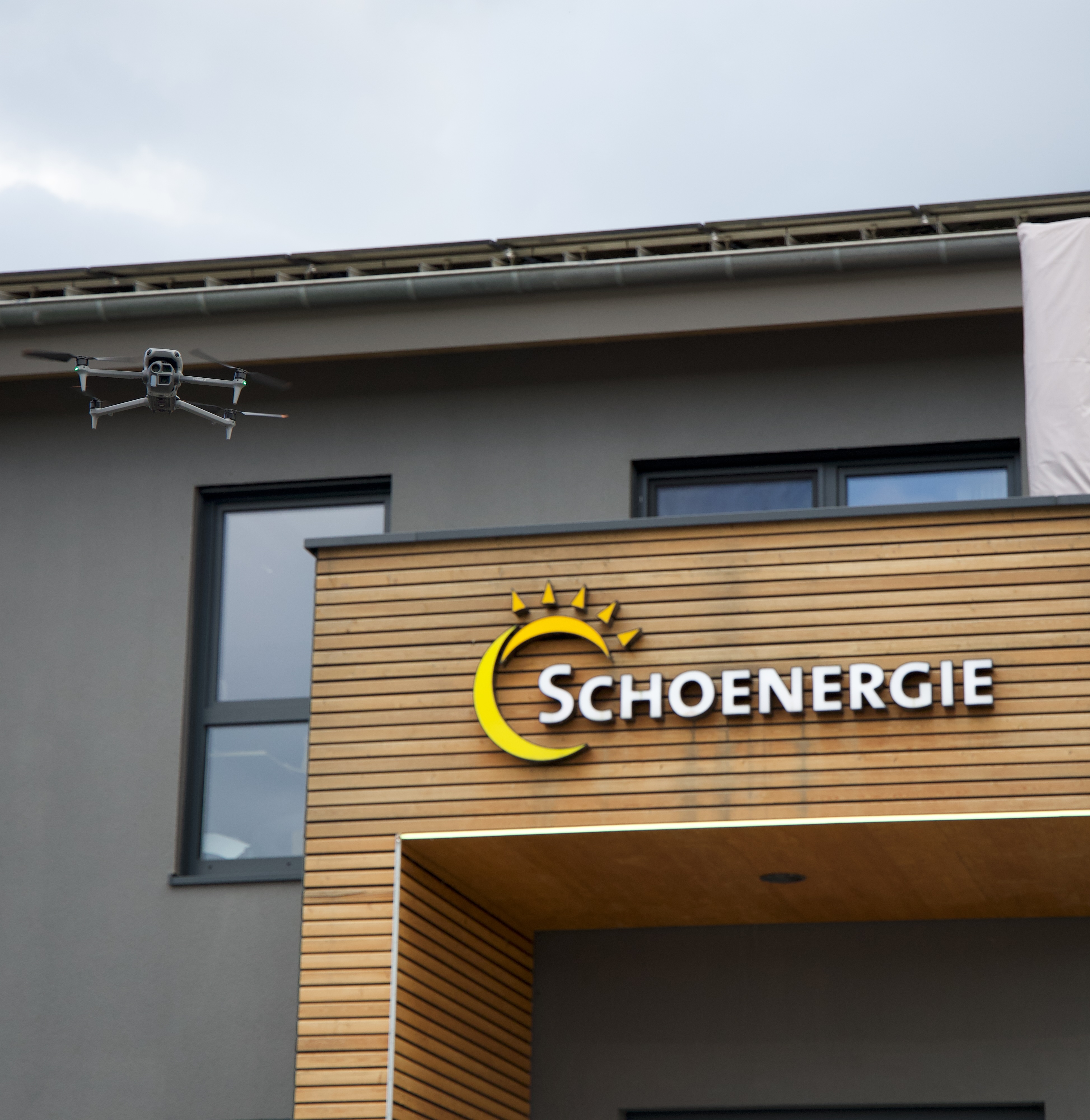
Schoenergie: Safer, Faster, and No More Manual Measurements

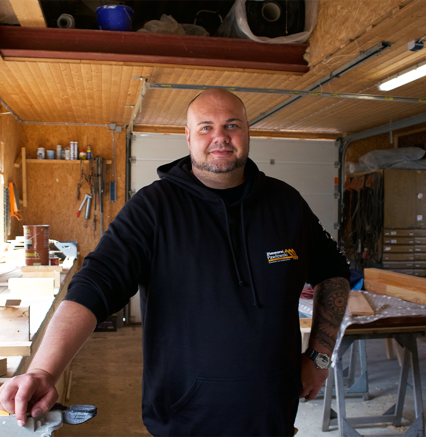
Zimmerei Pawlowski: From Manual Measurements to a Digital Workflow

Solit Energie AG – Efficient and Precise Solar Planning with Airteam


Warum Dachdeckermeister Benjamin Harnack auf Airteam schwört


Gewobag and Airteam — Efficient aerial survey of the façade


Two days instead of weeks: How over 6,000 square meters and over 100 dormers were measured in record time


Digitalization inside and outside: Combining data from the building's outer shell and interior spaces


Faster & more accurate PV planning: Sascha Kloß relies on Airteam & SMA Sunny Design!

How Energieinsel gains prospects through Airteam


Drone flies count instead of roof tiles - why Svea Solar Germany also recommends Airteam to other locations
