How good is the quality of drone aerial photography?


We are often asked how good is the quality of drone aerial photography?
You can either answer this very academically with. It depends. Among others from:
- from the drone
- the camera resolution
- the distance to the object
- the lighting conditions
- and much more
In addition to the academic answer, there is also the practical answer. This is: Decide for yourself based on examples. All images are created with a DJI Mavic 2 Pro.
Please note that we have reduced all images to 1920x1920 pixels for display on the web. The original resolution of these images is 5472x3648 pixels.
Example 1 - without zoom

Distance of the drone from the roof approx. 15 meters - no zoom level
Example 1 - 5 x zoom

In the same picture from above, we simply brought the area of the gutter and downpipe closer.
Example 2 - without zoom

Distance of the drone from the roof area approx. 5 m - no zoom level
Example 2 - 5 x zoom

In the same image from above, we have zoomed in on the entire image closer
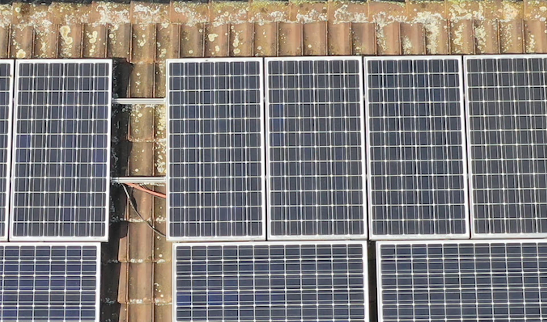
Example 3 - without zoom

Distance of the drone from the photovoltaic system approx. 5 m - no zoom level
Example 3 - 5x zoom

In the same picture from above, we zoomed in on the PV panel.
Example 4 - without zoom

Distance of the drone from the photovoltaic system approx. 15 m - no zoom level
Example 4 - 5x zoom
In the same picture from above, we have taken a closer look at the area of the ridge and the PV panels
conclusion
The drone aerial photographs are very suitable for a visual inspection of the roof, whether it is a pitched roof or a flat roof. Damages such as storms and hail damage can thus be identified very easily. The inspection of solar systems can also be carried out. Thermographic inspection by drone offers even more evaluation options for solar systems here. We will discuss these in more detail in a future article.