Roof measurement with drones: DIN-compliant 3D measurement in 24 hours


Roof measurement with drones: DIN-compliant 3D measurement in 24 hours
Roofers, solar engineers and scaffolders save up to 90% of their measurement time with digital drone measurement — while at the same time increasing accuracy and without safety risks. The technology that makes this possible is already available today and has been tried and tested in practice.
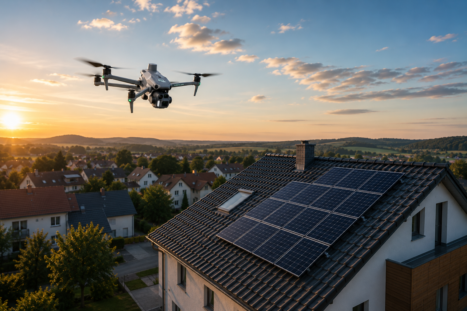
Creating a roof survey using drones and AI-based photogrammetry is revolutionizing the way craft businesses work. Instead of hours of manual measurements on the roof, a 5-minute drone flight from safe ground is sufficient. The result: A precise 3D model with measurement accurate to the centimeter, available within 24 hours.
Learn how over 5,000 craft businesses are digitizing their roof measurement using Airteam technology and what measurable benefits this innovation brings to your company.
Challenges of traditional roof dimensions
Traditional methods of roof measurement pose significant challenges for craft businesses. Manual measurement takes an average of 2-4 hours per building, and even significantly longer for complex roof geometries with dormers, throats and intersections. This requires employees to climb onto rooftops — a safety risk that leads to numerous accidents at work every year.
The error rate of manual measurements can be 5-10%. These inaccuracies lead to costly recalculations, incorrectly ordered material and delays on the construction site. Particularly critical: VOB/C statements often lack complete, digital documentation of the measurement values.
Another problem is the lack of divisibility of the data. Handwritten measurements or Excel spreadsheets are difficult to transfer to modern planning software. The result: Duplicate work and additional sources of error when manually transferring to PV planning tools or CAD programs.
The Airteam solution: AI-powered drone measurement
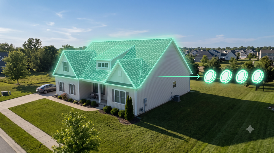
The Airteam Fusion platform transforms drone images into precise 3D building models using artificial intelligence. A single drone flight of around 5 minutes covers the entire roof, including all details such as skylights, chimneys, dormers and superstructures.
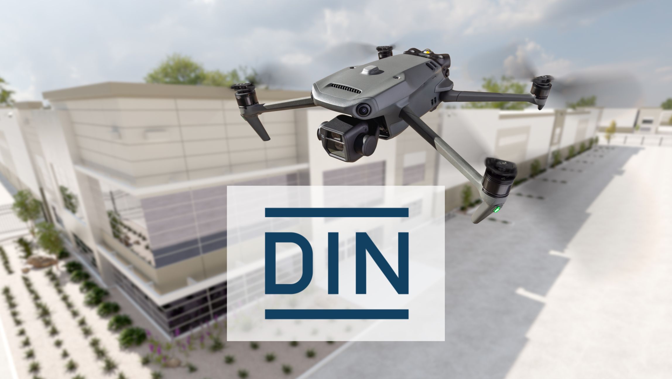
The AI software automatically recognizes all relevant roof structures and classifies them semantically. This means that the system automatically distinguishes between roof surfaces, ridges, grooves and other elements. The accuracy is up to 99.9% with a tolerance of just 1-3 cm over 40 meters — this corresponds to DIN SPEC and exceeds satellite images by 8 times.
The decisive advantage: All measurements are carried out from a safe ground. Employees no longer have to climb dangerous roofs. The collected data is available as a quality-tested 3D model after just 24 hours.
Areas of application for precise roof dimensions
Solar system planning
When installing photovoltaic systems, precision is crucial for economic efficiency. With Airteam, solar engineers not only get the exact roof dimensions, but also automatically generated PV layouts. Direct export to PV*SOL, Eturnity, SolarEdge Designer and other tools saves up to 48% of planning time. Yield optimization increases by an average of 15% through precise shading analyses and optimal module placement.
roof renovation
Roofers benefit from DIN-compliant quantity calculations for legally secure VOB/C statements. The automatic calculation of roof areas, ridges and grooves eliminates calculation errors. The result: 0% rework and 23% more offers won through professional 3D visualizations for customers.
scaffolding
For scaffolders, drone measurement provides façade dimensions accurate to the centimeter. Heights, widths and projections are automatically recorded and exported to Scaffmax or other planning software. The time savings are up to 90% compared to manual measurements — while at the same time increasing accuracy when ordering materials.
Carpentry
Carpenters receive precise 3D models for the quotation and planning phase. Exporting to SEMA, AutoCAD or SketchUp is done with one click. Rafter lengths, roof slopes and intersections are comprehensibly documented. This reduces planning errors to almost 0% and speeds up the quotation process by up to 91%.
Portfolio digitization
With Airteam, housing associations digitize entire building stocks. The standardized, auditable building data enables 70-80% faster recording with 40% cost savings compared to conventional methods. Ideal for planning energy renovations or PV rollouts.
The Airteam process: From flight to finished model
Step 1: Drone flight (10 minutes)
You have two options: fly yourself with an Airteam starter set or book a certified pilot from the Airteam network. The flight only takes around 10 minutes per building. The drone automatically captures overlapping images from different angles.
Step 2: Upload to the Airteam Fusion platform
The images are simply uploaded to the browser-based platform via drag and drop. No installation, no CAD skills required The upload works from any device — computer, tablet, or smartphone.
Step 3: AI processing with semantic classification
The artificial intelligence processes the images fully automatically. Not only are 3D points calculated, but roof structures are also intelligently recognized and classified. The AI distinguishes between different roof levels, identifies structures and calculates all relevant geometries.
Step 4: Quality control and DIN-compliant preparation
Each model undergoes a multi-stage quality control process. The dimensions are checked and corrected manually if necessary. You are guaranteed to receive precise data for your calculation.
Step 5: Download in 15+ formats
The finished 3D model is available for download in over 15 formats: DXF for CAD, IFC for BIM, PDF for documentation, CSV for Excel and many more. Special exports for industry software such as MF Dach or PV*SOL are integrated.
Core features of the Airteam Fusion platform
Browser-based 3D visualization without CAD knowledge
The intuitive user interface allows every employee to work with 3D models. Rotate, zoom, measure — everything works as easily as Google Maps. No expensive CAD software, no training, no installations required.
Automatic quantity calculation for all roof elements
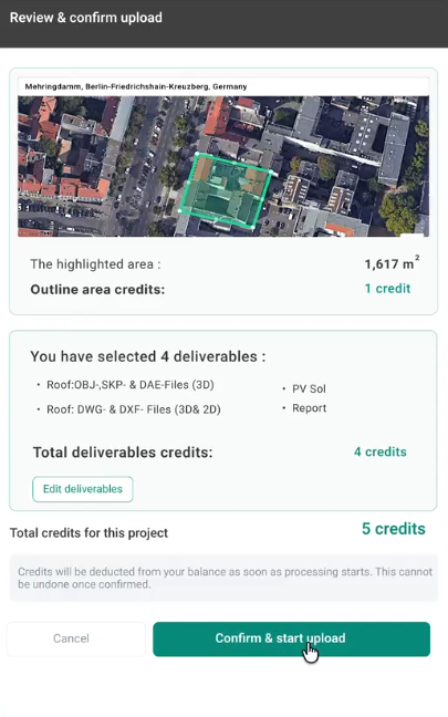
The platform automatically calculates all relevant dimensions: floor areas, roof areas, ridge lengths, groove lengths, eave lengths and wall heights. Each element is shown individually and can be used for calculation.
Integrated measurement tools with DIN-compliant accuracy
Perform your own measurements directly in the 3D model: distances, surfaces, slopes. The measurement results can be exported and documented.
One-click export to PV planning software and CAD programs
Time-consuming data transfers are a thing of the past. With one click, your roof dimensions end up in PV*SOL, Eturnity, SolarEdge Designer, Sunny Design, Solar Monkey or other tools. CAD exports for AutoCAD, SketchUp or SEMA are also immediately available.
Automatic measurement reports for tenders
Generate professional PDF reports with all dimensions, visualizations, and calculations. These reports are perfect for offers, tenders or documentation for clients. DIN-compliant processing creates trust and transparency.
Measurable benefits for craft businesses
90% time savings: from hours to minutes
Dachdeckerei Mann GmbH reduced its measurement time from an average of 3 hours to 20 minutes — including drone flight and data processing. This means that 5 times more objects can be measured per week. The time gained flows directly into productive craftsmanship.
99.9% accuracy: 0% post-calculations
Roofing company Harnack reports 100% accuracy and zero rework since the introduction of Airteam. Erroneous material orders and costly recalculations are a thing of the past. Every offer fits the first time.
48% less planning time for PV systems
By integrating Airteam, Svea Solar was able to almost halve the planning time for solar systems. At the same time, the energy yield of the planned plants rose by 15% due to optimized module placement. Project costs fell by 25%.
100% work safety: No ladder risks
Since the switch to drone measurement, none of the more than 5,000 Airteam customers have had an accident at work while measuring the roof. The measurement is carried out completely from a safe ground. This not only reduces accident risks, but also insurance premiums.
23% more offers won through 3D visualization
Customers are more likely to opt for offers with professional 3D visualization. Dachdeckerei Mann increased its success rate by 23%. The impressive 3D models create trust and set you apart from competitors who still work with hand sketches.
Integration into existing workflows
Compatibility with 15+ industry solutions
Airteam is not an isolated solution, but fits seamlessly into your existing software landscape. Whether PV*SOL, Eturnity, MF Dach, SEMA, Scaffmax or AutoCAD — the data flows directly to where you need it.
Special exports for every sector
For roofers, there are MF roof exports with all relevant positions. Solar engineers receive PV-specific data, including shading analysis. Scaffmakers receive façade processing for Scaffmax. Every industry receives exactly the data it needs.
API interfaces for major customers
“Airteam is developing individual API interfaces together with housing associations and large craft businesses. In this way, drone measurements are directly integrated into the digital workflow — from order creation to invoicing.”
Training and support in German
The Airteam team based in Berlin offers complete support in German. From initial training to webinars to technical support, you'll never be left alone. The training takes less than an hour.
Pricing models and entry options
Flat rates starting at 125€/month
With the Fast Fusion package, you can start digital roof measurement from as little as 125€ per month. It includes all basic functions of the platform as well as a defined number of projects per month. For frequent users, there are Pro (292€), Max (1.000€) and Ultra (4.167€) packages with more performance.
Starter kits with drone + training from 1,950€
Would you like to fly yourself? The starter kits include a professional drone, on-site training and two months of flat rate access to the platform. In less than a day, you're ready to take your first drone measurements.
Pilot network for individual projects
Don't have your own drone? No problem Simply book a certified pilot from the Airteam network. The costs depend on the size of the object (S-XXL). You are guaranteed to receive your 3D model within the agreed time.
Conclusion: Digitalization of crafts with Airteam
Drone measurement with Airteam is more than just a tool — it is the entry into the digital future of crafts. With 90% time savings, 99.9% accuracy and 100% work safety, the investment pays off after just a few projects.
More than 5,000 craft businesses have already completed over 70,000 projects with Airteam. You benefit from faster offers, more precise calculations and happier customers. The DIN-compliant quality and seamless integration into existing software make the transition easy and risk-free.
The average return on investment is 3-6 months. After that, any time saved is pure profit. In a market that increasingly demands speed, precision and professionalism, digital roof measurement gives you a decisive competitive advantage.
Start your first drone survey today. In 24 hours, you'll have your first accurate 3D model in your hands — and you'll wonder how you've ever worked differently.