3D drone software — which solution is right for field services?


Airteam — The solution for the craft sector
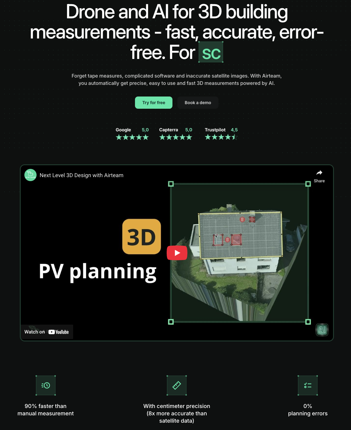
Specialized in 3D building measurement and inspection, Airteam offers everything from a single source: drone flights, 3D models, solar planning, CAD data and support in German. The platform is cloud-based, easy to use and optimized for everyday craftsmen — including integration with industry software such as PV*sol, Eturnity or MF Dach.
Airteam was developed specifically for craft businesses that need to achieve usable results quickly and without previous IT knowledge. The data is DIN-certified and can be incorporated directly into planning, calculation and installation.
Benefits
✅ AI-generated survey reports - quality-tested & DIN-certified
✅ Solar planning directly in a 3D model (e.g. for PV systems)
✅ DXF/DWG export for AutoCAD & Co.
✅ 3D data from 10€ per project
✅ German customer support
Drawbacks
🔸 Currently only available in German and English
🔸 No purchase model — just individual projects or annual subscription
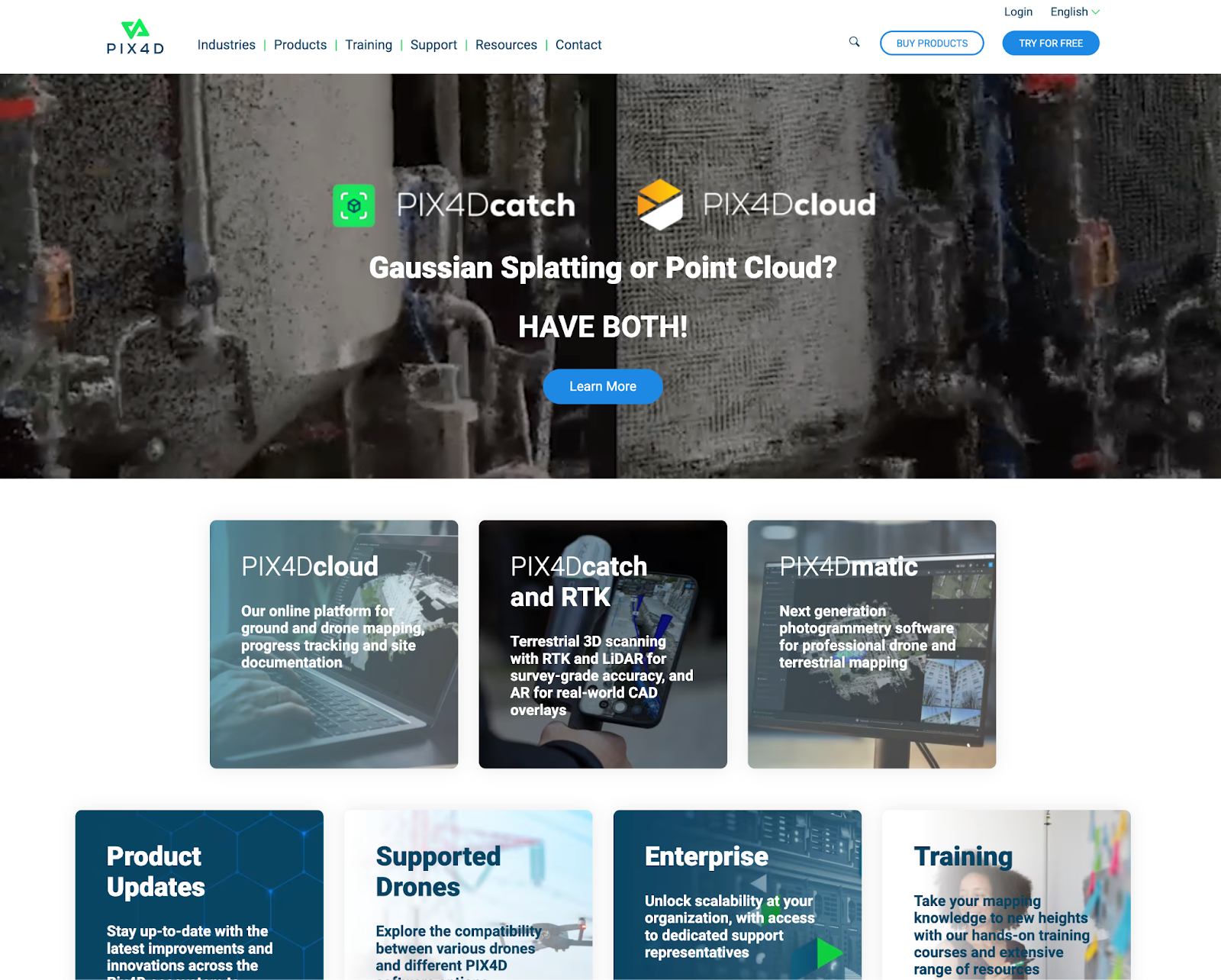
Pix4D — The Industry Veteran
Pix4D is a heavyweight in photogrammetry and is used worldwide in industry, construction and research. The focus is clearly on complex 3D models in many different industries.
The software offers numerous extension modules, for example for agriculture, construction or inspection. For tradesmen, however, the start is often cluttered and technically demanding.
Benefits
✅ Support for many types of cameras
✅ High model quality when used correctly
✅ Modularly expandable (mappers, fields, cloud, etc.)
Drawbacks
🔸 Very complex — not ideal for beginners
🔸 Expensive (approx. 3,500\ €/year)
🔸 No industry-specific features (e.g. PV planning)
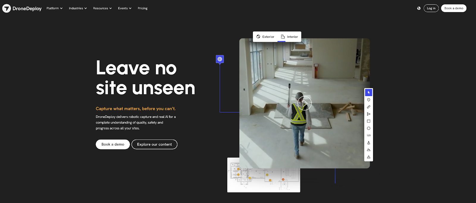
DroneDeploy — The all-rounder from the USA
DroneDeploy specializes in visualization and project management. Ideal for large construction sites, construction managers and documentation purposes — less for precise measurement or solar planning.
DroneDeploy particularly shows its strengths when it comes to monitoring construction progress and space management.
Benefits
✅ Easy to use, good web app
✅ Good for construction progress documentation for new construction projects
✅ Integration with BIM tools
Drawbacks
🔸 PV and CAD features are missing
🔸 Starting at 349\ $/month → high ongoing costs
🔸 Data is stored in the USA
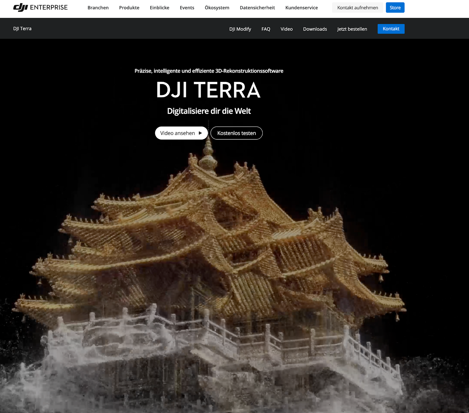
DJI Terra — The software from the drone manufacturer itself
DJI Terra is closely linked to DJI hardware and offers solid mapping features. The focus is on classic photogrammetry and point cloud creation.
Anyone who already uses DJI drones will find a stable system here. However, functions for planning or specific roof analysis are missing.
Benefits
✅ Offline use possible
✅ Quick creation of 3D models
Drawbacks
🔸 Restricted export formats
🔸 No tools for solar or CAD planning
🔸 No German-language support
🔸 Data is stored in China
Agisoft Metashape — The tool for experts
Metashape gives great results when you know what you're doing. Ideal for geodata professionals — less so for the typical craft business.
The software offers maximum control over workflows, but is very technical and difficult to access without introduction. Especially in everyday life, there is often a lack of time for familiarization.
Benefits
✅ High flexibility
✅ Local processing
Drawbacks
🔸 Complex software — expert knowledge required
🔸 No cloud, no automation
🔸 No support for handyman workflows
webODM (OpenDroneMap) — The open-source alternative
webODM is inexpensive and flexible, but much more technical. Anyone who is very tech-savvy, wants to save money and does a lot of things themselves could find what they are looking for here.
The tool is particularly interesting for developers and hobbyists. It is rather unsuitable for everyday work without IT know-how.
Benefits
✅ fairly cheap
✅ Customizable through plug-ins
Drawbacks
🔸 Slow, resource intensive
🔸 No automation, no support
🔸 Not suitable for quick projects
Drone dealers (e.g. Airclip)
Some retailers offer complete packages including drones, software and service. However, they are often resellers with limited support or purchased software solutions.
These solutions may be useful for beginners, but offer little depth or customization. The software rarely comes from our own development.
Benefits
✅ Good entry-level solutions as a bundle
✅ Personal contact
✅ Purchase possible instead of subscription
Drawbacks
🔸 No survey reports
🔸 Mostly distribution of third-party software - not developed by ourselves
🔸 Limited flexibility
🔸 Hardly any individual workflows for PV/roof/planning
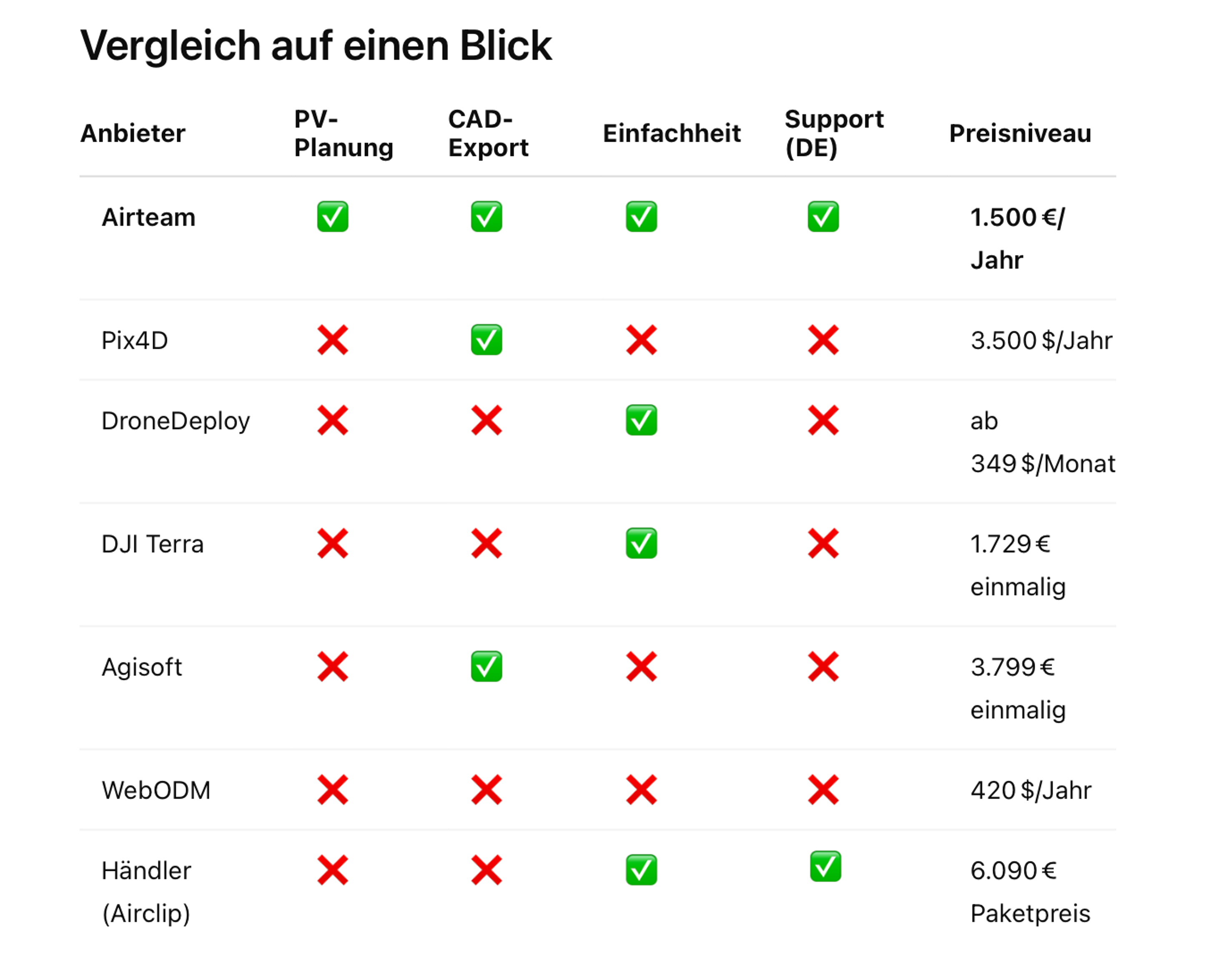
Overview of all providers
Conclusion: Why Airteam is the best choice for tradesmen
If you want to quickly obtain usable 3D data in practice — without spending hours configuring software — Airteam is your solution.
You'll get:
✅ Accurate 3D models for the roof, PV planning or building application
✅ Automated reports and CAD data
✅ Integration with the 25 most popular software tools such as PV*sol, Autocad, Eturnity and MF Dach
✅ Only provider with DIN-certified data
✅ Support in English and German
And all this at low individual prices or a very fair fixed price per year. No hidden costs. No software maintenance. Simply results that are impressive — and make everyday life as a craftsman easier.